Walking with the Pendle witches – a 45 mile trail round historic Lancashire
Most areas have their version of a trail or way, and whether it’s for a personal or charitable challenge, a desire to see a new region, or simply to connect more closely with the place you call home, why not make this summer the season you get out there and tick off a long distance hike? The Pendle Witches Walk could be just what you're looking for.
The Pendle Way
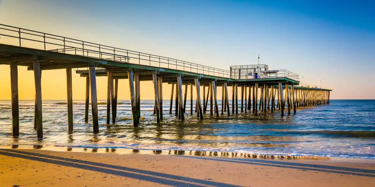
The Pendle Way, a 45 mile meandering hike around the beautiful East Lancashire countryside, packs a lot of terrain into a comparatively short circuit. Home to the brooding hulk of earth that is Pendle Hill, and the mystique and tragic history of the demonised Pendle witches, this route compasses wild moorlands, historic landmarks and gentle farmland, whilst brushing the outskirts of Lancashire’s industrial heritage.
The walk starts and ends at Pendle Heritage Centre in Barrowford, former home of the Bannister family – way before Roger Bannister’s 4 minute mile fame – but a fact that all Pendle school children learn about nonetheless. I know all this because I too sat in a Barrowford classroom learning about our famous neighbours, and the mark the Pendle witches left on our tiny piece of the world.
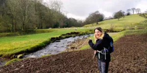
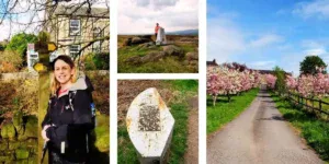
30 years later, flask in bag and map in hand, my friend Lorna and I set off to conquer the Pendle Way – a walk that the elite can do in a day, the majority do over a weekend, and for some reason, took us four years.

Here’s what you can expect to see and discover, (and possibly eat and drink), if you take on the walk yourself.
The walk begins in gentle countryside before your first big view; Blacko Tower perched on a hillside off the main road. Leaving the tower behind you begin the climb up to Weets Hill, the first and the easiest of the Pendle Three Peaks, and one which affords you fabulous views out to the Yorkshire Dales and Forest of Bowland.
Dropping into the trendy little town of Barnoldswick, you find yourself in the home of the boundary wars following the great county shake up of 1974. Basically, you’re in what used to be Yorkshire – and some people are adamant it still is.
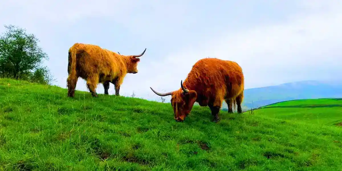
Here you join the Leeds and Liverpool canal for a few flat and steady, if slightly less exciting miles. You’ll have to do some cow dodging depending on the time of year, and your risk appetite for livestock (mine is zero) – before arriving in the small town of Earby on the North Yorkshire border.
Dramatic Vistas
From here you start one of the most dramatic parts of the route, heading out through old Earby village before crossing Kelbrook Moor and onto Knarrs Hill.
Here you’re treated to more sweeping vistas, across the whole borough. Once you hit Black Lane Ends you can see out to Yorkshire in both directions, over to Pendle Hill, and then across to Thursden Valley and the West Pennine Moors.
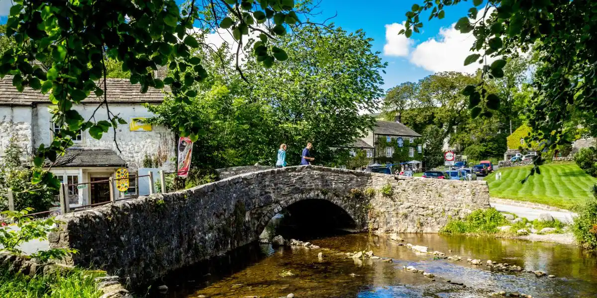
Part of this section also follows Pendle’s earliest turnpike road, built in 1755. There’s more history round the corner, as you head across to Wycoller, a picturesque village that allows no cars except for its residents. It’s home to Wycoller Hall, a grand building which fell into ruins in 1818, and was rumoured to be the place that Charlotte Brontë based Jane Eyre’s Ferndean Manor on.
It’s an incredibly pretty place to visit and is a nice place to take stock before heading across the moors of Thursden Valley to Boulsworth. Part of this section also forms part of the Bronte Way, so if you’re a literary enthusiast, you’ll enjoy soaking up this atmospheric trail.
This next bit can get quite boggy and confusing in poor weather, and whilst the way doesn’t officially include the summit of Boulsworth, or Lad Law as it’s sometimes known, I would recommend you take the opportunity to climb it whilst you are here.
The views out to the moors into Burnley and beyond are simply stunning, and then over to Pendle and beyond from the other direction. I really hope you get the weather if you do.
Nelson, Lancashire
The route then takes you round the outskirts of Nelson, on an often overgrown series of paths that drop you down to the back of the town and into Reedley. Here you’ll really start to see what old Lancashire was like, with its networks of closely terraced streets, old weaving sheds and towers and a number of old mills – many now repurposed for modern industry. As a result, it’s not the prettiest part of the walk, but don’t worry – you’re about to start the final third of the walk and enter Pendle Witch country proper.
Leaving the towns behind, you start the walk through farmland over to the little village of Higham. It was driving rain when we did this section, and spent large parts of the day taking shelter and caning our flasks, but on a clear day you’ll enjoy a pleasant walk by the River Calder before the climb into the village.
You’ll also head past Greenhead, which was the home of the first reported victims of the Pendle witches, and the start of a number of places of historical interest relating to them.
Witchcraft Accusations
In 1612, 12 people from Pendle were accused of witchcraft and tried at Lancaster Castle for their “crimes”. 10 were executed for supposedly causing illness and death to their neighbours due their supernatural actions, namely, by placing curses or hexes on them. There’s an active petition now, over 400 years later to pardon these women – it is very much a not forgotten part of our history.
You can learn much more online, or at Pendle Heritage Centre when you finish the walk.
Leaving Higham you head out to Newchurch, the beating heart of Pendle Witches country and home to Witches Galore – the place to be for witch themed memorabilia, and ice creams. You’re on the home stretch now, and some of the most beautiful scenery. As you drop down into Barley at Ogden reservoir, Pendle Hill looms ahead of you, your third and final peak and the signal that you’re almost back at base.

The Home Stretch
Pendle is a steep climb, standing just 51m short of mountain status. And don’t you know it! But from here you can enjoy looking back out at where you’ve come from, view, after view, after view.
Your final few miles take you out of Barley, through Roughlee and back into Barrowford, seeing some of the gentler countryside and picturesque villages that make up this part of the county. This section is fairly steady, which if you do the whole walk in a weekend you’ll be glad of!
Don’t forget to subscribe to the Girl About Travel Magazine twice monthly newsletter
But, before you know it, you’ll be back at base, 45 miles clocked up and hopefully marvelling in the history, the beauty and the people of Pendle and everything it has to offer.
I’m lucky to be a part of this community, but this walk opened my eyes to trails and views I’ve never come across, and that’s part of the beauty of long distance hiking. You never know what’s around the corner.
I hope that some of you choose to look round the corner and see what we have to offer here. I’ll leave a list of places to refresh yourself below, in case like us, you choose to take your time and soak it all in a little. Stay a while. There’s plenty to see here.
Pendle Way refreshments (in order as they come)
Four Alls, Higham
Back in Barrowford you have a range of pubs, bars and cafes to choose from – I personally recommend a wine at Wills, or a craft beer at the Bankers Draft.
As ever – take sensible precautions when heading out on any walk. Weather can change quickly, particularly in and around the Pennines. Suitable clothing and footwear is a must, as is an OS map (I use the fantastic OS app but also a paper map as back up), and don’t forget to take lots of snacks!
If you’re interested in finding out more, or want particular details about any part of the walk, or Pendle – please email me amy@girlabout.co.uk, or find me on Instagram @girl.about.lancashire. I’m looking forward to hearing about your Lancashire adventures.
By Amy Blackburn